
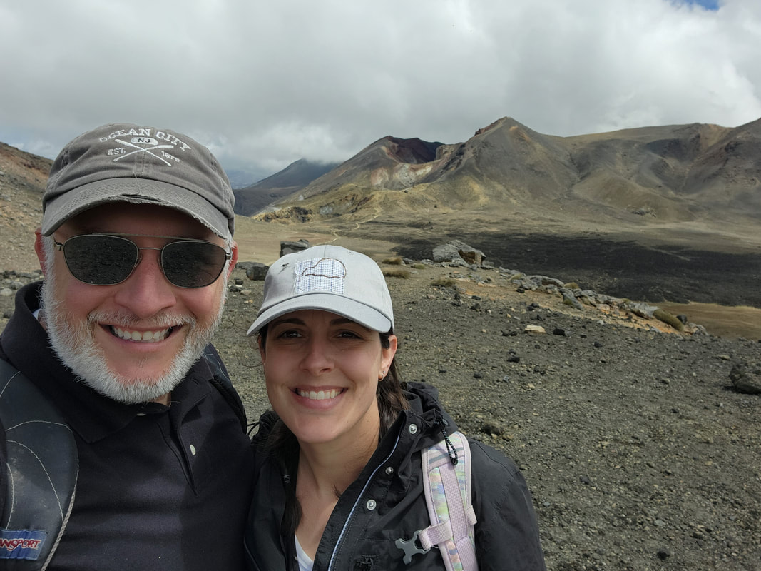
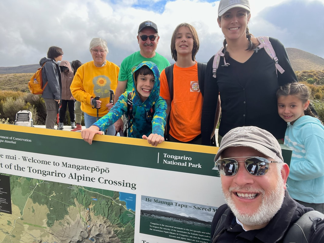
Today we hiked the Tongariro Alpine Crossing. 19.4 km (12 miles), 2300 feet in elevation. It was a doozy.
I did the first part of this hike when I was here before, with my friend Jenny. I didn’t know what I was getting into and Jenny did. Jenny and I did the first half of the hike and then broke off onto the path that leads away from the end point to a hut where we slept the night. We ended up in a totally different location.
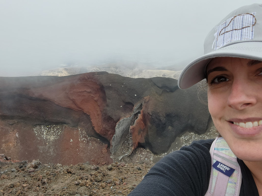
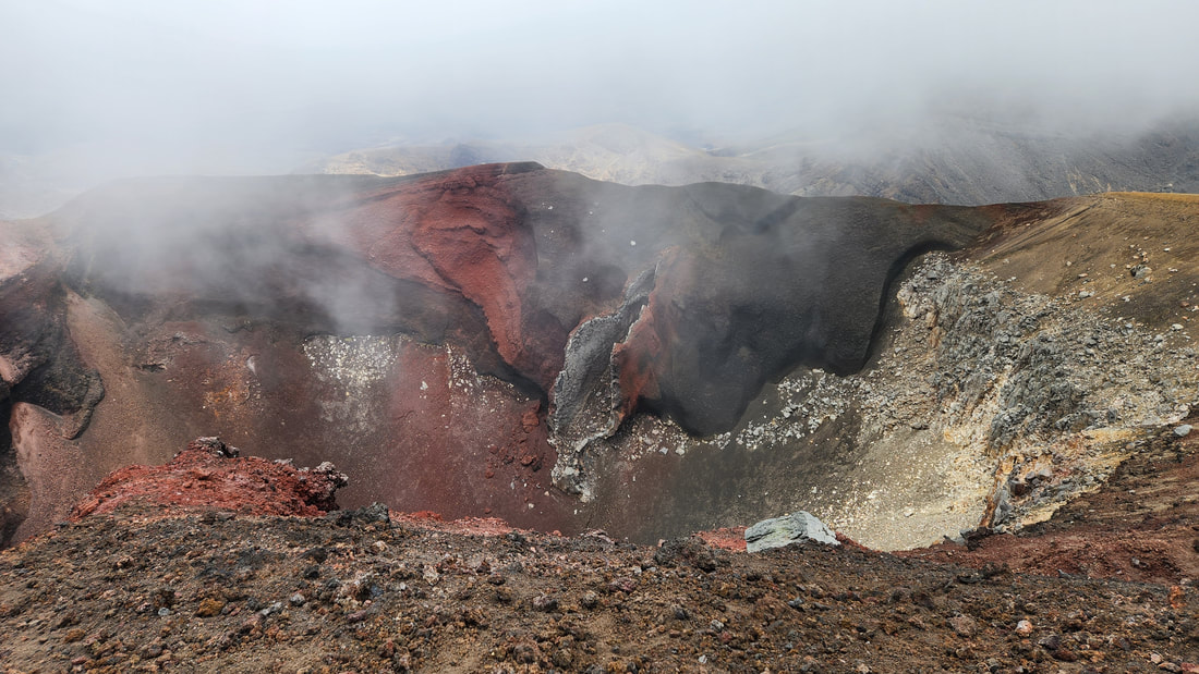
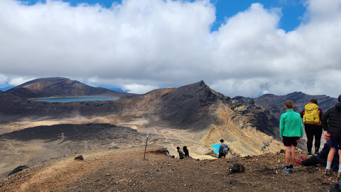
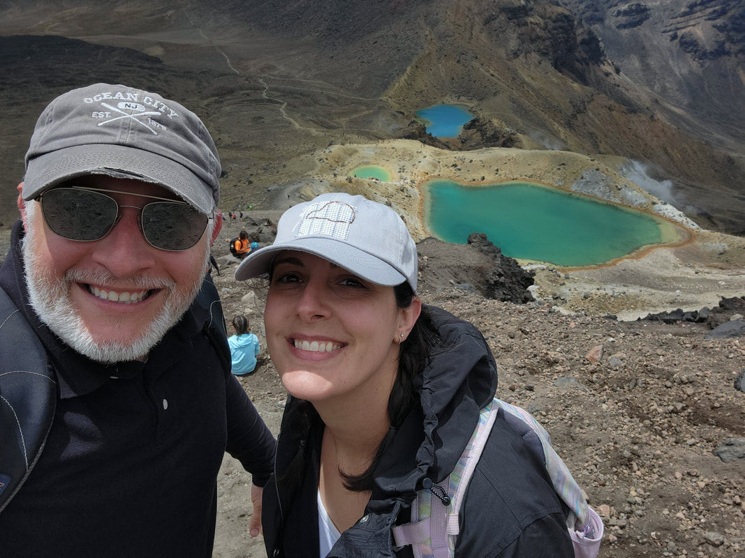
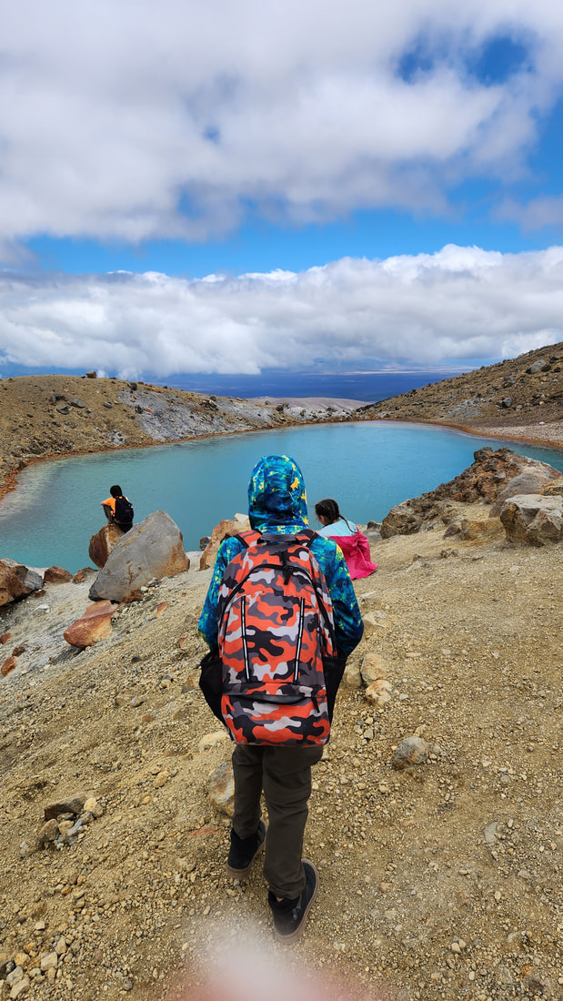
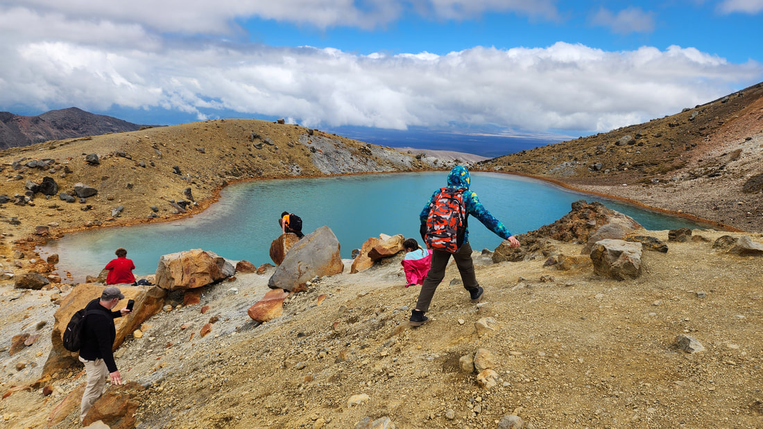
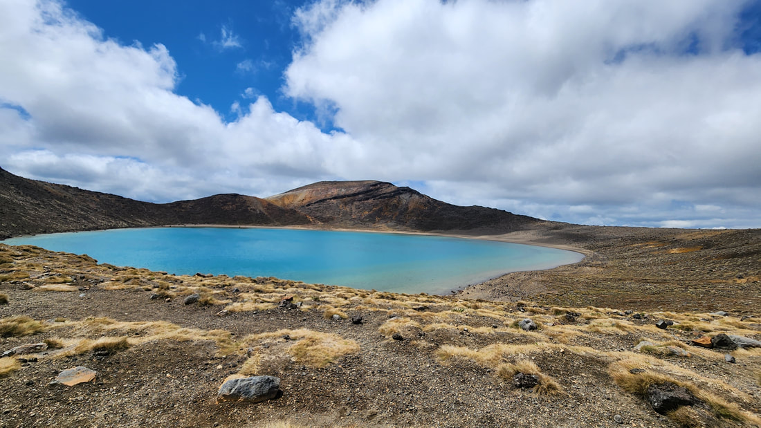
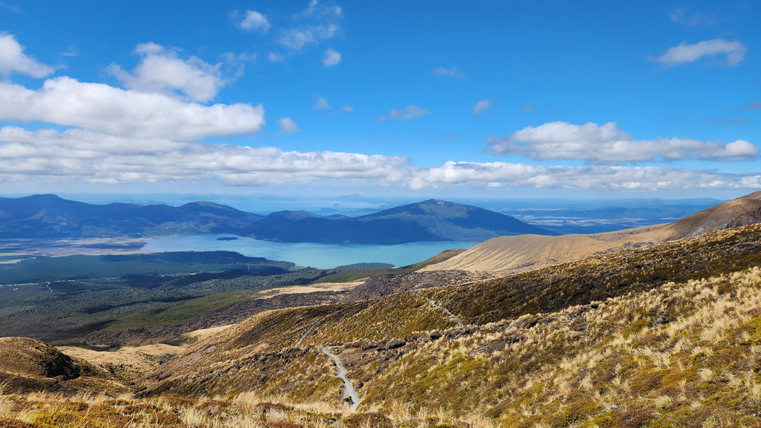
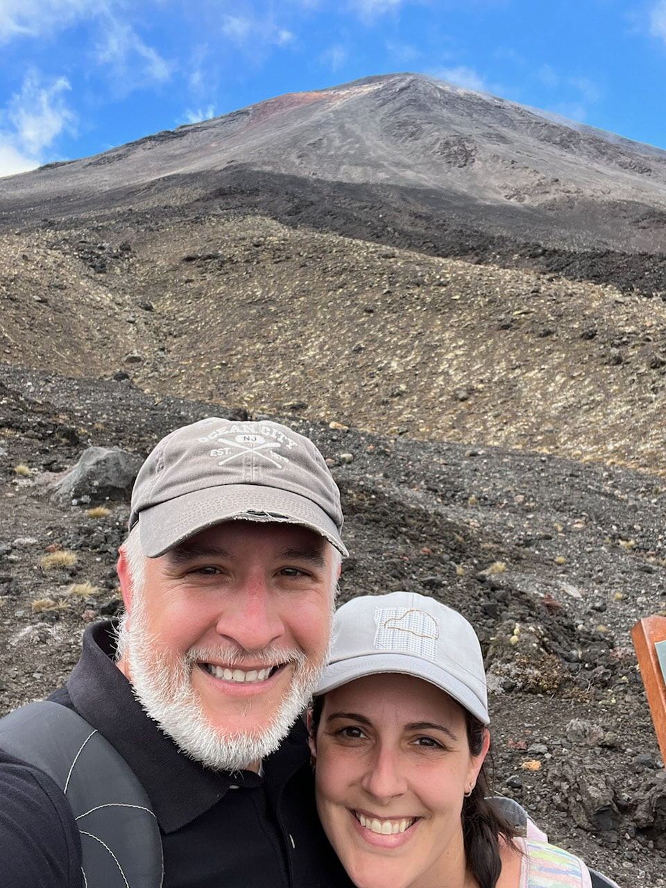
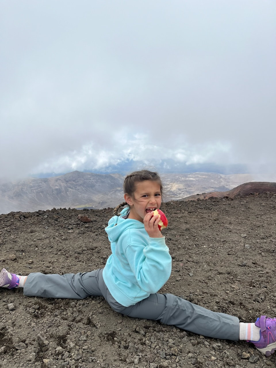
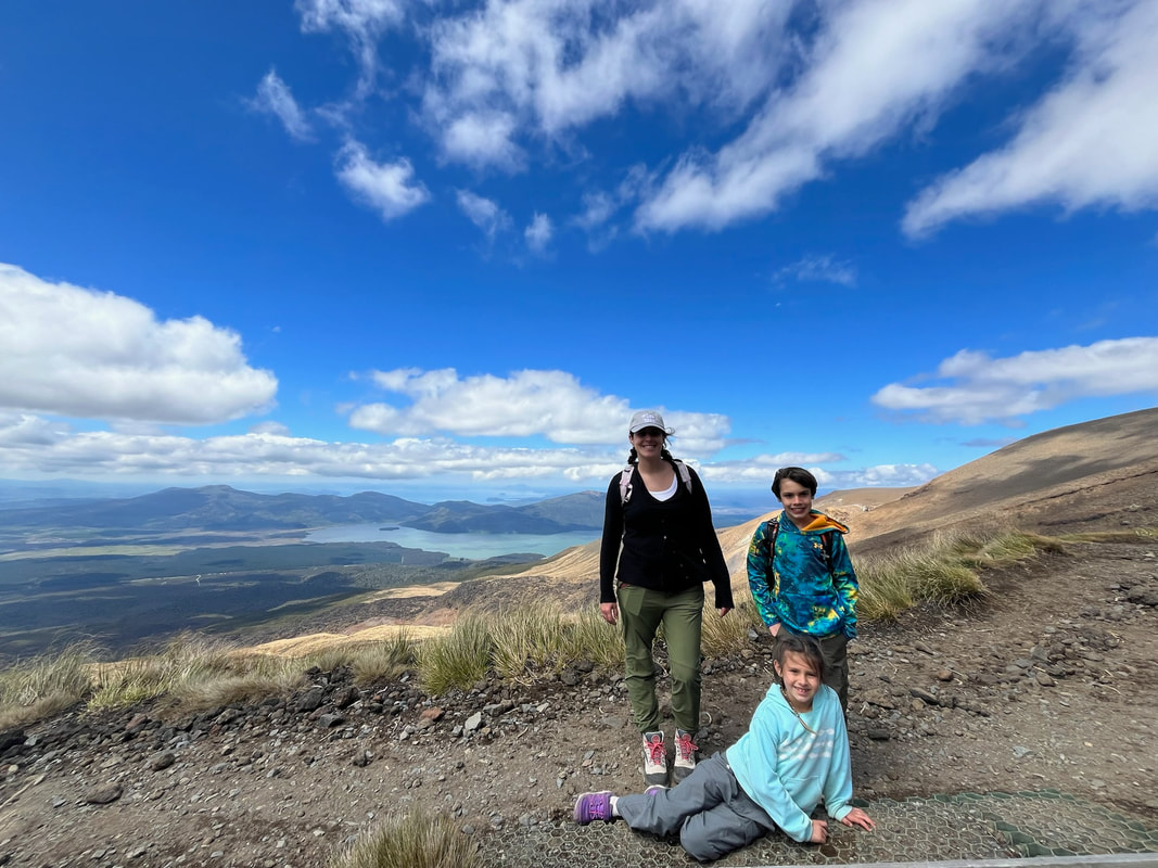
The way most people do it is as a day hike, which we did today. I should also add that the weather last time was horrendous, and I could only see 12 feet in front of me at any given point. We had a gorgeous clear day today and it made the hike 1000 times more interesting. Apparently there were 800 people on the trail today. I think we were the last down. Also, appaerently the weather is not usually this clear. We had incredible (and coincidental) timing to be on the trail today. The hike goes past Mt. Ngauruhoe, a classic cone shaped volcano with interesting volcanic features along the way. The highlight for me was seeing the Red Crater. I had no idea this feature existed, and it’s fascinating. We also saw the emerald pools and Blue Lake, alpine water features. For just a few minutes the cloud cover cleared and we could see the summit of Ngauruhoe. The summit is sacred to the Maori people and is therefore off limits. I’m not sure I would have wanted to attempt climbing it anyhow.
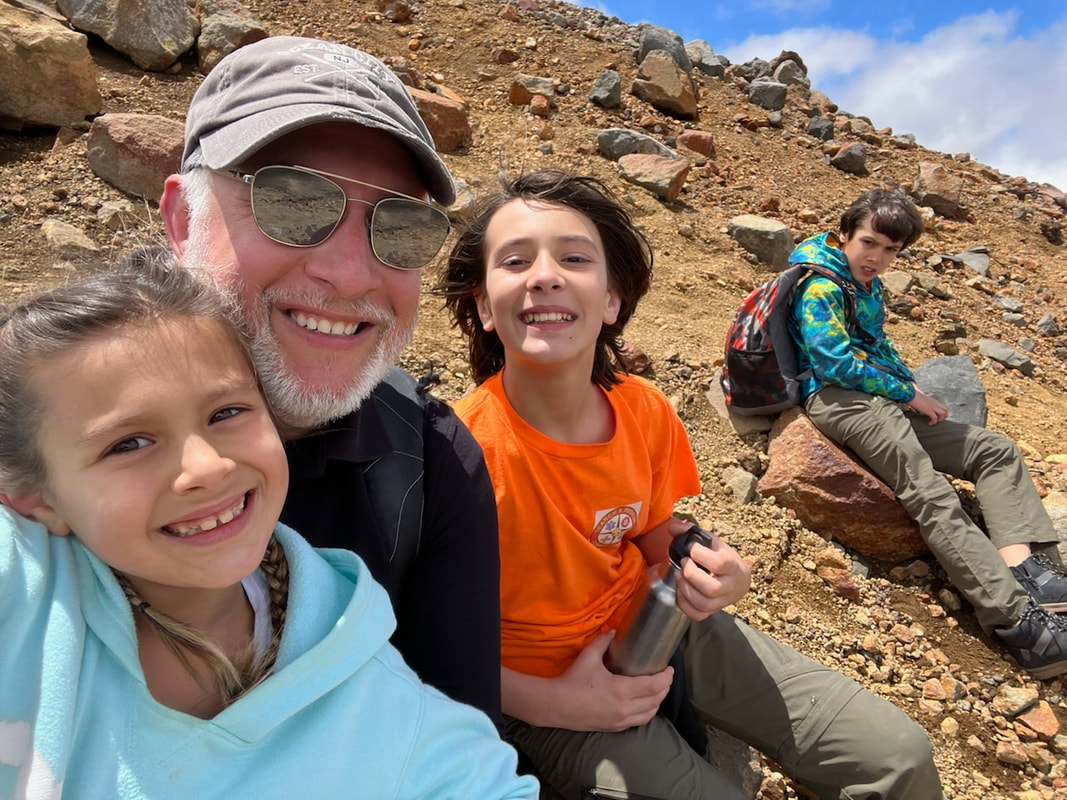
The first half of the hike is uphill with some pretty steep parts to get to the summit of red crater. The path down from the summit was the most treacherous. It is loose gravel, so slippery, and steep on both sides. We took it slow and made it safely. The second half of the trail was the hardest, though. Coming down took a LONG time and we are all exhausted and footsore. I am, however, so glad that I did it again on the clear day. The views were unforgettable.
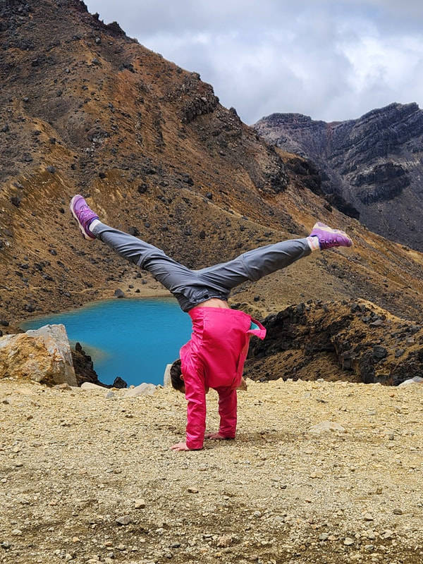
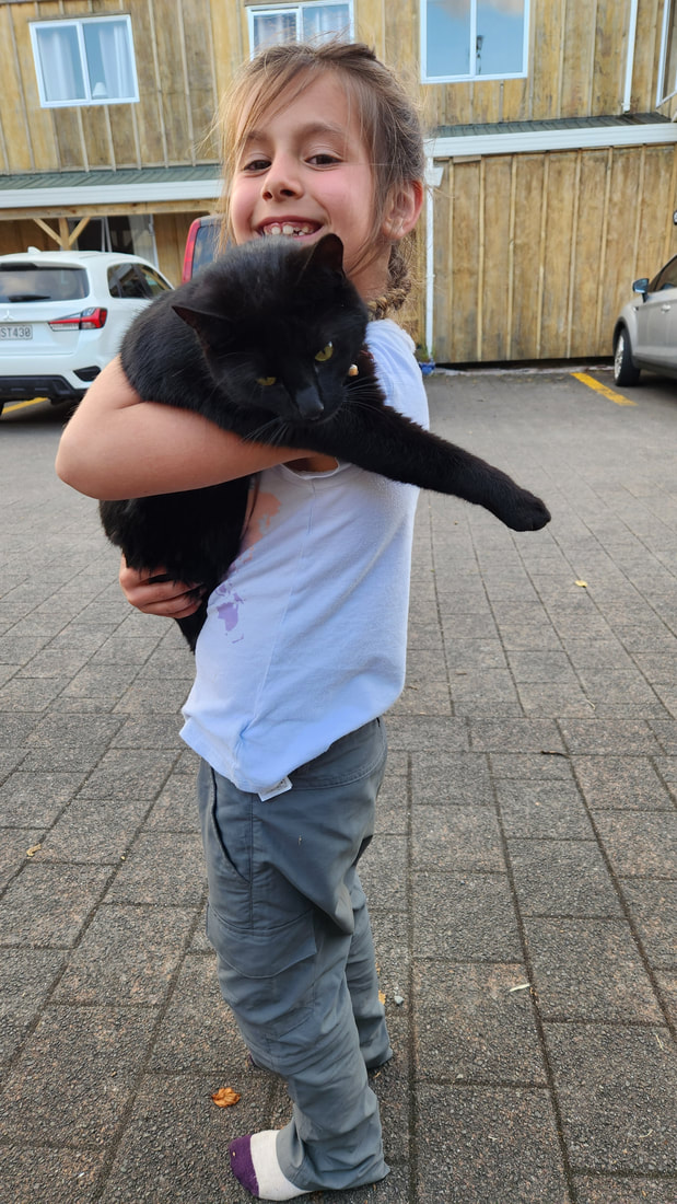
PS Alyssa found a cat at our lodge (Howards Mountain Lodge) and named it Sausage. They are best friends.... today.
I did the first part of this hike when I was here before, with my friend Jenny. I didn’t know what I was getting into and Jenny did. Jenny and I did the first half of the hike and then broke off onto the path that leads away from the end point to a hut where we slept the night. We ended up in a totally different location.
The way most people do it is as a day hike, which we did today. I should also add that the weather last time was horrendous, and I could only see 12 feet in front of me at any given point. We had a gorgeous clear day today and it made the hike 1000 times more interesting. Apparently there were 800 people on the trail today. I think we were the last down. Also, appaerently the weather is not usually this clear. We had incredible (and coincidental) timing to be on the trail today. The hike goes past Mt. Ngauruhoe, a classic cone shaped volcano with interesting volcanic features along the way. The highlight for me was seeing the Red Crater. I had no idea this feature existed, and it’s fascinating. We also saw the emerald pools and Blue Lake, alpine water features. For just a few minutes the cloud cover cleared and we could see the summit of Ngauruhoe. The summit is sacred to the Maori people and is therefore off limits. I’m not sure I would have wanted to attempt climbing it anyhow.
The first half of the hike is uphill with some pretty steep parts to get to the summit of red crater. The path down from the summit was the most treacherous. It is loose gravel, so slippery, and steep on both sides. We took it slow and made it safely. The second half of the trail was the hardest, though. Coming down took a LONG time and we are all exhausted and footsore. I am, however, so glad that I did it again on the clear day. The views were unforgettable.
PS Alyssa found a cat at our lodge (Howards Mountain Lodge) and named it Sausage. They are best friends.... today.
 RSS Feed
